Follow Us

Upcoming events

  • April 21, 2025
    The Standard Building, 900 SW 5th Ave, Portland, OR 97204
  • April 23, 2025
    The Standard Building, 900 SW 5th Ave, Portland, OR 97204


Menu
Log in


BOARD MEMBERS

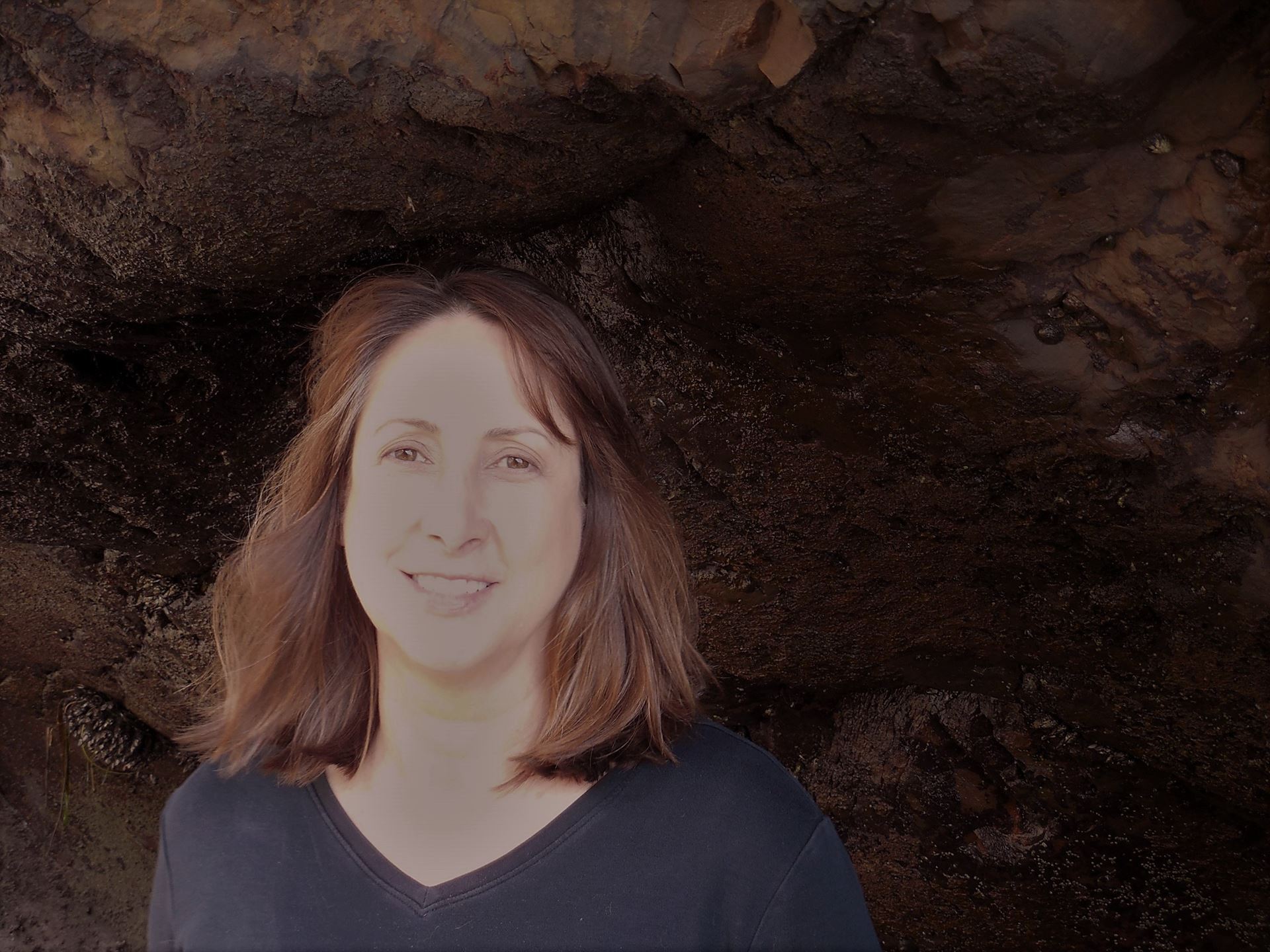
CATHERINE GREEN

Catherine Green is a geospatial analyst who is especially interested in web mapping, accessible design, and using GIS tools to promote social equity. She completed a GIS Certificate at Portland Community College (PCC) in 2020, and was also the President of PCC’s Student Chapter of ASPRS. She has a MA in Geography with emphasis in Energy Resources and Climatology, as well as a BA in Environmental Studies; both from California State University, East Bay. Catherine has worked in the nonprofit sector in a variety of roles, including researcher, communications manager, development manager, outreach coordinator, and volunteer coordinator for organizations focused on Environmental Health, Environmental Justice, Climate Policy, and Community Arts. She also has a certificate in Horticulture and is a native plant Landscape Designer. She enjoys hiking, snowshoeing, gardening, botanizing, tide pooling, and amateur astronomy.


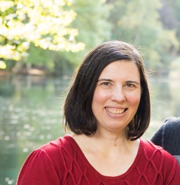
ALICIA MILLIGAN

Alicia Milligan earned her academic credentials in Geography and Geographic Information Systems (GIS) from Portland State University. She possesses a deep-seated passion for GIS and human geography. Her master's research ingeniously fused these two applications of geography, utilizing public participation GIS to map the "Sense of Place" in Mt. Hood National Forest.

Alicia's expertise extends to the art of cartography, and she has made invaluable contributions to notable publications like "Upper Left Cities", Human Ecology Mapping in Central Oregon Forests, and projects focused on disaster resilience in the aftermath of the 2015 Nepal earthquakes.

Having previously served as a Faculty Instructor and Geospatial Programs Advisor at PCC, Alicia has shared her enthusiasm for geography and GIS with students, igniting their curiosity and guiding them towards the diverse opportunities this field has to offer.

Currently, Alicia holds the role of Natural Resource Project Manager at ECOnorthwest, where she plays a pivotal role in spearheading projects that involve economic and spatial analyses for restoration and conservation initiatives, sustainable recreation, and tourism.

Alicia is deeply ingrained in the Portland GIS community and has dedicated over five years as a board member of ORURISA Emerging Professionals. Beyond her professional pursuits, Alicia passionately advocates for fostering a connection with nature and place. In her free time, she can be found bouldering, climbing, backpacking, hiking, and immersing herself in the outdoors to connect with nature and place.

MIRANDA WOOD

Miranda Wood is a Business Systems Analyst currently employed with the City of Portland. She graduated from University of Colorado, Boulder with a degree in Geography and has spent the last twenty years of her professional career working with GIS in the public sector. GIS has served as a vehicle to work in several different disciplines, including environmental conservation and wildlife management, public safety, and sewer and stormwater management. She has an interest in the use of GIS and data analytics to communicate information for policy and decision makers, as well as exploring new technology to streamline and improve data management and access. She has served as an Emerging Professional Mentor for three years and enjoys assisting individuals in exploring their options, skills, and building their professional connections. Outside of work, she enjoys camping, board games, live music, and taking trips with the family.


JAKE LOVELL

Jake Lovell is a GIS specialist at Metro, where he supports Metro’s transportation planners with GIS analysis, solutions, and cartography. Prior to Metro, he worked as a GIS specialist in the Cultural Resources Management field and in a variety of GIS internships around the region. He completed his GIS certificate at Portland Community College in 2019, after working in management consulting prior to making the career jump to GIS. His first exposure to GIS was during his undergrad experience, mapping polling places and analyzing voter behavior as part of his B.A. in Political Science from Reed College.

When he’s not writing python scripts or making maps, you can find Jake watching the Portland Trail Blazers, playing disc golf, backpacking in the North Cascades, or laughing ominously while running games of Dungeons & Dragons for friends.

LEAH BOLLIN

Leah Bollin is a GIS analyst interested in transit, urban planning, and using spatial tools as an agent for local change. She recently completed a GIS certificate at Portland Community College (PCC) and has a BA in Environmental Studies & Sociology from CU Boulder. Leah currently works at Jarrett Walker & Associates as an Associate, where she is on the Analyst team helping redesign transit networks for agencies across the US and internationally. In her free time Leah finds her passion in making cities safe and accessible for all and spends her time volunteering for programs that support this mission in Portland.


LINDSEY BENJAMIN

Lindsey Benjamin comes to GIS with 13+ years experience in multiple forms of cultural heritage management. She holds a BA in Anthropology/Archaeology from Colorado College, and a Master in Library & Information Science (MLIS) from UCLA, as well as a GIS certificate. She worked as an archivist for photographic and cultural materials For the National Park Service, the Getty Institute and the Oregon Historical Society. Wanting to be an archaeologist since the age of 12, she spent some time in her 20s digging holes as cultural resource field technician throughout Oregon and Washington. While she was great at digging holes, she decided that sometimes it’s also nice to work indoors in the winter in the Pacific Northwest. Transitioning to GIS in 2020, she has since found her experience in cultural resource management, particularly as an archivist, to translate beautifully to GIS work.

She’s been a GIS technician for Parametrix since early 2022, working on a wide variety or infrastructure, environmental and transportation projects. Lately, much of her time has been devoted to the Interstate Bridge Replacement Program, which seeks to replace the I-5 bridge between Oregon and Washington with a new multimodal (and seismically stable) bridge. When she’s lucky, she gets to spend time in the field with scientists learning about plants and wetlands. Sometimes she pretends she’s a wetland scientist, but mostly she just makes the maps.

LIZ MARCHALONIS

After more than a decade working in architecture, Liz decided to broaden her focus, honing in on sustainability and equity at the urban scale. Completing the GIS certificate program at Portland Community College felt like a natural progression of her existing education and experience. She recently joined the GIS field as a transit analyst and is excited to contribute her efforts towards promoting public transportation. Liz is grateful to now be part of the GIS community, finding inspiration and connection with fellow students and professionals.

Liz also lends her support to Portland's dance and performance arts communities. In her downtime, you'll find her practicing ballet and aerial dance. Being a dancer since a young age has fostered her sense of appreciation for spaces dedicated to human expression, underscoring the significance of natural and built placemaking. Just as dance describes human movement in space, she finds parallels in representing geography through cartography and buildings through drawing, each practice allowing one to gain much better insight into and to tell complex stories about our surroundings. Beyond dance, she loves learning about the plants, landscapes, and cultural history of the Northeast, or wherever she happens to be.


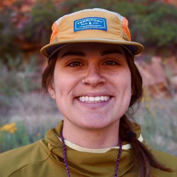
SIERRA HOSEA

Sierra Hosea is a geospatial professional who is interested in interactive maps and citizen science. She graduated from Oregon State University in 2020 with a BS in Climate Science and an Undergraduate GIS Certificate. Sierra most recently worked for a small, family-owned forestry company in the Corvallis area where she was responsible for the creation and management of maps, databases, ArcGIS Online applications and IT duties. She is active in several GIS communities and is interested in learning from her peers.

FORMER BOARD MEMBERS

Claire Roth

Shivon Van Allen

Josh Ahmann

Liam Neeley-Brown

Matthew Gregg


Powered by Wild Apricot Membership Software